 Gloria Glover
 The different types of climate are distinguished mainly by long-term patterns of temperature, precipitation, and seasonality. Using those criteria, we can compare global climate groups, identify the distinctive Mediterranean pattern, and locate the principal climate zones across the United States.
Different Types of Climate: Temperature, Precipitation, and Seasonality
The Köppen climate classification groups climates according to average temperatures, precipitation totals, and when precipitation occurs during the year. Its five broad groups are:
- Tropical climates: Temperatures remain warm throughout the year, with every month averaging about 18°C (64°F) or higher. Rain may fall year-round or follow distinct wet and dry seasons.
- Dry climates: Evaporation and potential water loss exceed precipitation. Deserts receive very little rain, while semiarid steppes receive more but remain moisture-limited.
- Temperate climates: These generally have mild to warm summers and cooler winters without the severe, persistent cold typical of continental or polar regions. Rainfall may be distributed across the year or concentrated in one season.
- Continental climates: Larger seasonal temperature differences produce warm or hot summers and cold winters. They are common in interiors and higher latitudes, where land heats and cools quickly.
- Polar climates: The warmest month stays below 10°C (50°F). Tundra has a short cool growing season, while ice-cap regions remain below freezing for nearly the entire year.
Highland climates are often treated as an additional practical category. Elevation lowers temperatures, changes precipitation, and can create several climate conditions within a short horizontal distance.
What Defines a Mediterranean Climate Zone?
A Mediterranean climate zone has a pronounced dry summer and a wetter winter. Summers are usually warm or hot, with persistent high pressure suppressing clouds and rain. In winter, shifting westerly winds and storm tracks bring most of the annual precipitation. Winters are generally mild near the coast, although inland elevations can be colder.
In Köppen terms, hot-summer Mediterranean climates are commonly labeled Csa, while warm- or cool-summer versions are Csb. Examples include the Mediterranean Basin, coastal and interior valleys of central and southern California, central Chile, the Cape region of South Africa, and parts of southwestern Australia. These regions support drought-adapted vegetation such as scrub, evergreen trees, and plants that grow most actively during the wetter months.
A warm coastal location is not automatically Mediterranean. The defining test is seasonal precipitation: a Mediterranean climate must have a reliable summer dry period and a wetter winter pattern.
United States Climate Zones: Where They Occur
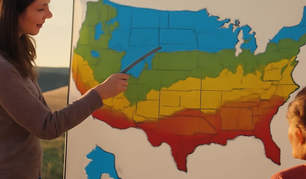
Across the United States, broad global climate categories appear in the following geographic patterns:
- Tropical: South Florida, the Florida Keys, and Hawaii stay warm year-round. Rainfall may be abundant, but many locations have a clear wet season and dry season.
- Mediterranean: Coastal California and nearby inland valleys have dry, often hot summers and wetter winters. Conditions become drier toward the interior and cooler at higher elevations.
- Dry desert and steppe: Nevada, Arizona, Utah, New Mexico, parts of west Texas, southeastern California, and sections of the Great Plains receive limited precipitation. Mountains and distance from moisture sources reinforce the aridity.
- Humid subtropical: The Southeast, Gulf Coast, and much of the Atlantic lowland have hot, humid summers, mild winters, and precipitation in every season, often with a summer maximum.
- Marine west coast: Western Washington, western Oregon, and parts of northern California have mild temperatures moderated by the Pacific. Winters are wet, while summers are relatively dry, though usually less distinctly dry than in Mediterranean California.
- Humid continental: The Great Lakes, upper Midwest, Northeast, and inland Appalachians experience warm summers, cold winters, and substantial seasonal temperature contrast.
- Subarctic and polar: Most of Alaska has subarctic conditions, while the far northern coast approaches tundra. High mountains in Alaska and the contiguous states support alpine climates.
How Geography Creates Regional Variation
Latitude controls the amount of incoming solar energy, helping explain why tropical Florida is warmer than northern Alaska. Elevation lowers temperature and often increases snowfall, so the Rockies, Sierra Nevada, and Cascades contain colder conditions than nearby lowlands.
Mountains also force moist air upward, producing wet windward slopes and dry rain-shadow areas. The Sierra Nevada, for example, helps create the arid Great Basin east of California. Ocean currents and prevailing winds moderate coastal temperatures, while distance from the ocean increases seasonal extremes across the continental interior. These controls create gradual transitions, so climate boundaries rarely follow state lines exactly.