5 climate regions explained through the Köppen system, plus a clear guide to Cfb climate: what its three letters mean, where it occurs, and the weather it typically brings.
5 climate regions: The Köppen Groups and Cfb Climate
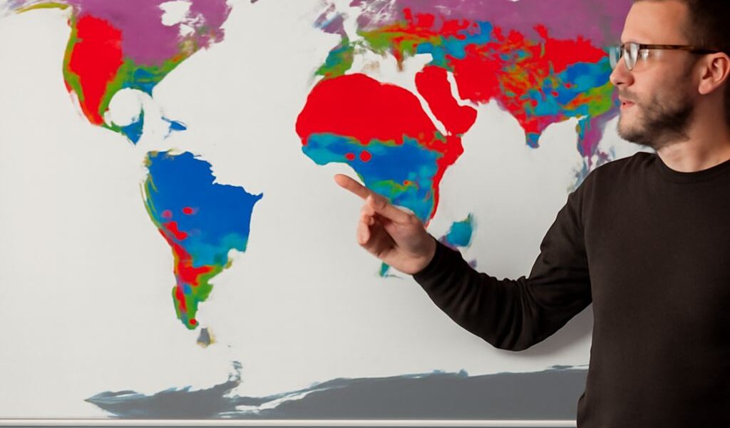
5 climate regions explained through the Köppen system, plus a clear guide to Cfb climate: what its three letters mean, where it occurs, and the weather it typically brings.
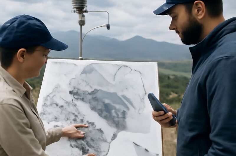
Type of climate explains Mexico’s sharp contrasts. Learn how latitude, elevation, coasts, mountains, temperature, and seasonal rainfall shape environments from the dry north to the tropical south.
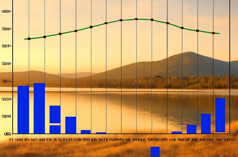
Use the Köppen climate classification chart to decode climate labels, follow temperature and precipitation rules, and compare representative U.S. regions from humid coasts to arid deserts.
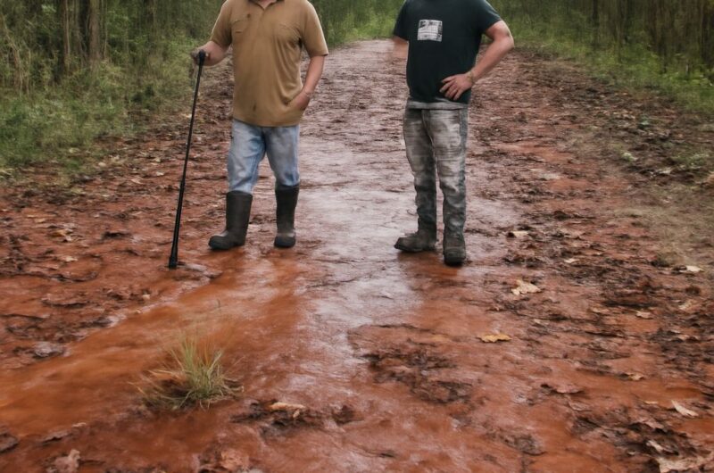
Learn the mountaintop removal definition, its link to strip mining, the environmental effects on land, water, waste rock, and habitat, and how mitigation differs from remediation.
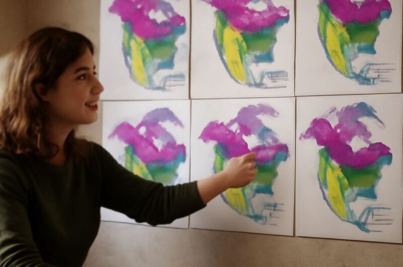
World climates explained through the five Köppen groups: learn how temperature, precipitation, and seasonality define Köppen climate types and map to climate zones of the United States.
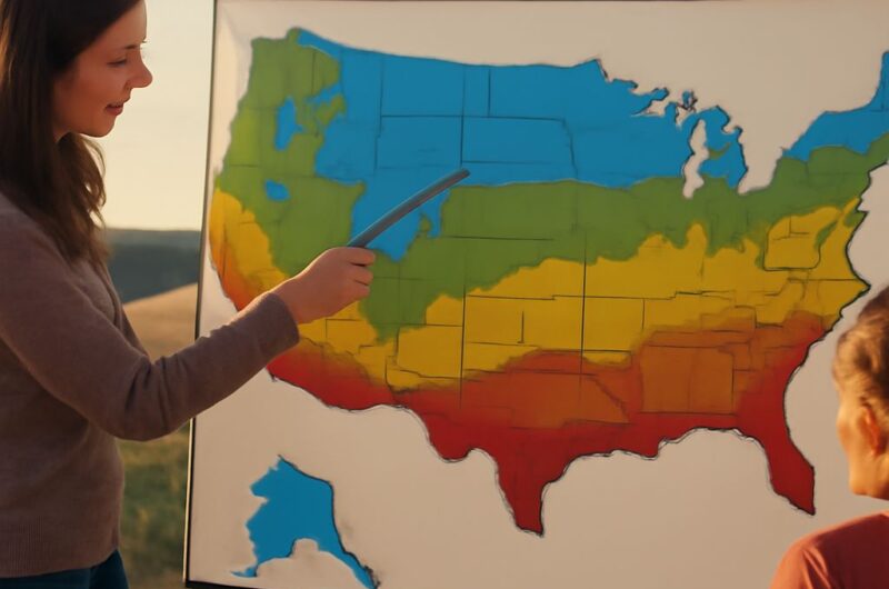
Different types of climate: temperature, precipitation, and seasonality. See how these factors shape the Mediterranean climate zone. Then find major United States climate zones across the country.

Learn the mining environmental impact on land, water, air, waste, and habitat. See what mitigation prevents, what environmental remediation repairs, and when each applies.
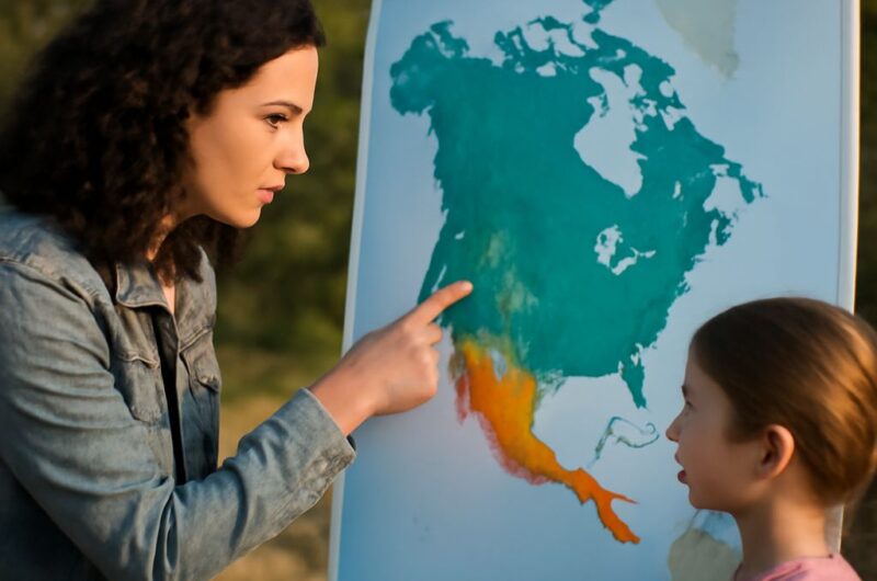
Read a climate regions map by linking colors to long-term temperature and precipitation. A US climate zones map identifies major regions. A U.S. climate map shows why boundaries vary.
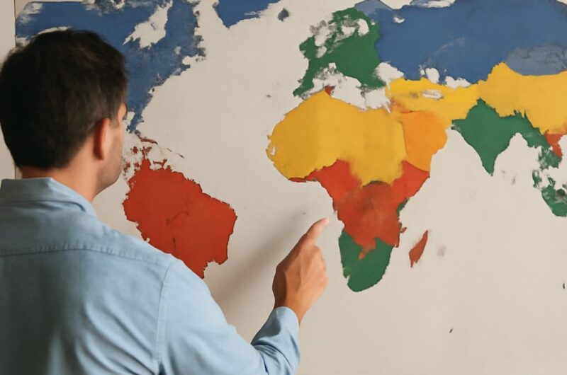
Köppen classification explains climate through temperature and precipitation thresholds. Learn what groups A–E mean, how secondary and tertiary letters work, and how real regions receive their codes.
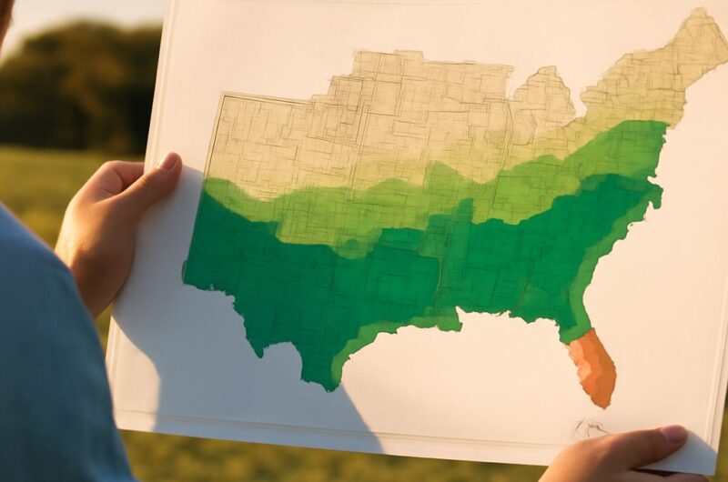
Use a Köppen climate map of the USA to compare the map of climate zones with climate zones of Africa. See how latitude, ocean currents, elevation, rain belts, and continental interiors shape patterns.