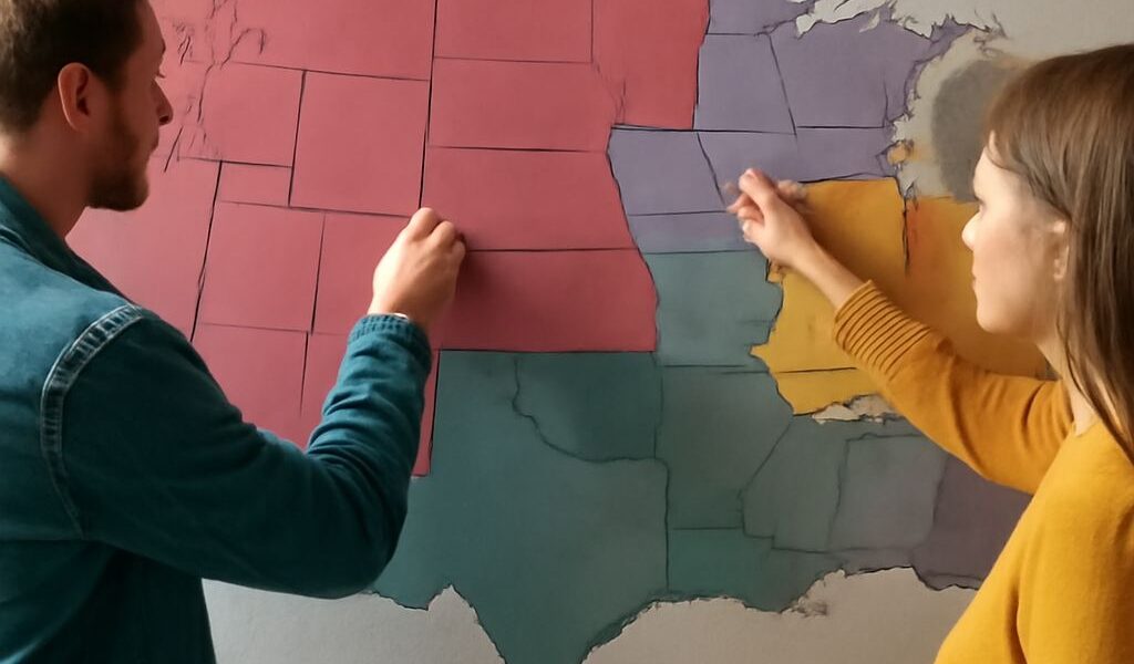
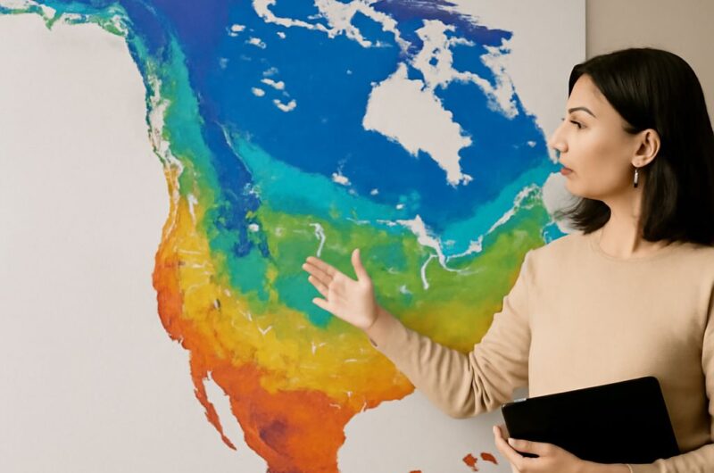
Climate classification uses long-term temperature and precipitation patterns. A climate map of the United States shows how latitude, oceans, elevation, and mountain barriers shape major regions. It guides map reading, not short-term weather forecasting.
Climate Classification: How to Read a U.S. Climate Map