 Gloria Davis
Exploring Russia’s vast and diverse landscape reveals an intriguing tapestry of climatic zones, each with its unique weather patterns. By delving into Russia’s climate map, we can gain a deeper understanding of how these varied climates impact everything from agriculture to daily life. With this in-depth look, we aim to provide a comprehensive overview of the distinct climates that characterize this immense nation.
Overview of Russia’s Climate Zones
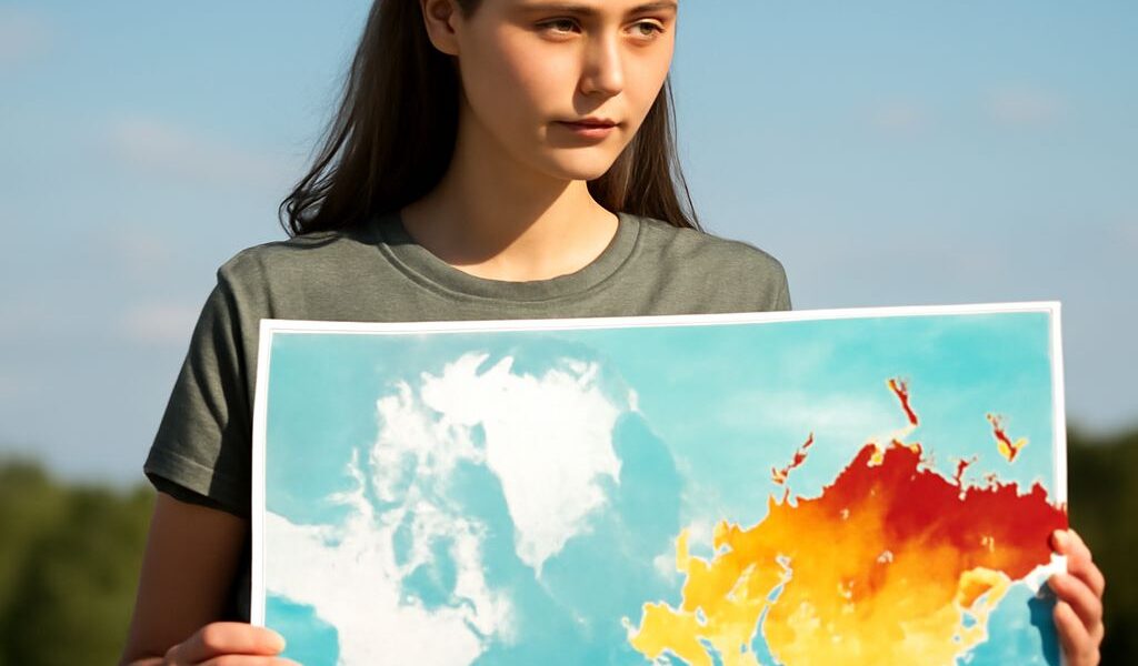
Russia encompasses an extensive range of climate zones due to its massive land area, spanning from the frigid Arctic tundra in the north to more temperate regions in the south. The climate map of Russia highlights several key zones:
- Tundra: Located in the northernmost parts of Russia, the tundra is characterized by extremely cold temperatures and permafrost. Vegetation is sparse, consisting mainly of mosses and lichens.
- Subarctic: Just south of the tundra, the subarctic region experiences long, harsh winters and short, cool summers. Boreal forests, or taiga, dominate this zone, home to species like spruce and fir.
- Temperate: Central Russia features a more temperate climate with distinct seasons, making it suitable for agriculture. This zone receives moderate rainfall and supports diverse vegetation, including mixed forests.
- Steppe: In the southern part of Russia, the steppe region is characterized by semi-arid conditions. It is known for its grasslands and is essential for grain production.
- Desert: Although not extensive, some areas near the Caspian Sea exhibit desert-like conditions with dry, hot summers and cold winters.
The Role of the Climate Map in Understanding Russia’s Weather
The Russia climate map is a crucial tool for meteorologists, geographers, and policymakers. By visually representing the country’s varied climate zones, it aids in predicting weather patterns and understanding long-term climatic changes. This understanding is vital for numerous applications, including agriculture, urban planning, and environmental conservation.
For instance, the map helps farmers determine the best crops suited to each region, ensuring efficient use of resources and optimizing yields. Urban planners can use climate data to design resilient infrastructure that can withstand local weather conditions. Additionally, conservationists rely on this information to protect vulnerable ecosystems and species adapted to specific climates.
Impacts of Russia’s Climate on Its Regions
The unique combinations of temperatures and precipitation across Russia’s climate zones have profound effects on regional lifestyles, economies, and environments.
- Agriculture: The temperate and steppe zones are crucial for Russia’s agriculture, producing grains such as wheat and barley. However, unpredictable weather and early frosts can pose challenges to farmers.
- Transportation: Harsh winters in the subarctic and tundra regions can disrupt transportation and logistics, affecting both local and international trade. Ice roads and railways play a crucial role in maintaining connectivity.
- Energy: Russia’s climate influences its energy consumption patterns, with high demand for heating during the long winters. The country’s vast reserves of natural resources, including oil and gas, are integral to meeting these needs.
- Biodiversity: Each climate zone hosts unique flora and fauna, from the wildlife-rich taiga forests to the resilient species of the tundra. Climate change threatens these ecosystems, prompting the need for conservation efforts.
Understanding Russia’s climate is not only essential for adapting to its current conditions but also for preparing for future climatic shifts. Armed with knowledge from the climate map, we can better appreciate the challenges and opportunities presented by this vast and varied country.