 Gloria Glover
India’s climate is characterized by diversity, influenced by its vast geography and varied topography. Understanding the climate of India is essential for appreciating its agricultural practices, lifestyle, and regional cultures. From the tropical climate in the southern regions to alpine conditions in the Himalayan north, the climate across India changes dramatically.
Overview of India’s Climate
India’s climate can generally be categorized into six main types: tropical wet, tropical dry, subtropical humid, montane, desert, and alpine. The country experiences four distinct seasons: winter (December to February), summer (March to May), monsoon (June to September), and post-monsoon (October to November). The monsoon season is particularly significant, as it provides essential rainfall across the country, driving agriculture and influencing water resources.
Regional Climate Variations
Several regions in India experience unique climate conditions due to variations in elevation, proximity to water bodies, and latitude.
- South India: The southern part of India, including states like Kerala and Tamil Nadu, mainly falls under the tropical wet climate category. These areas receive substantial rainfall during the monsoon season, with temperatures remaining relatively warm throughout the year.
- Northwest India: Regions like Rajasthan experience a desert climate, characterized by scant rainfall and extreme temperatures, both high daytime temperatures and cold nights.
- Northeast India: This area, including Assam and Meghalaya, sees a subtropical humid climate with heavy rainfall during the monsoon season, fostering lush green landscapes and diverse flora.
- Himalayan Region: The northernmost part of India is dominated by an alpine climate. States such as Jammu and Kashmir witness harsh winters with abundant snowfall, while summers are cool and pleasant.
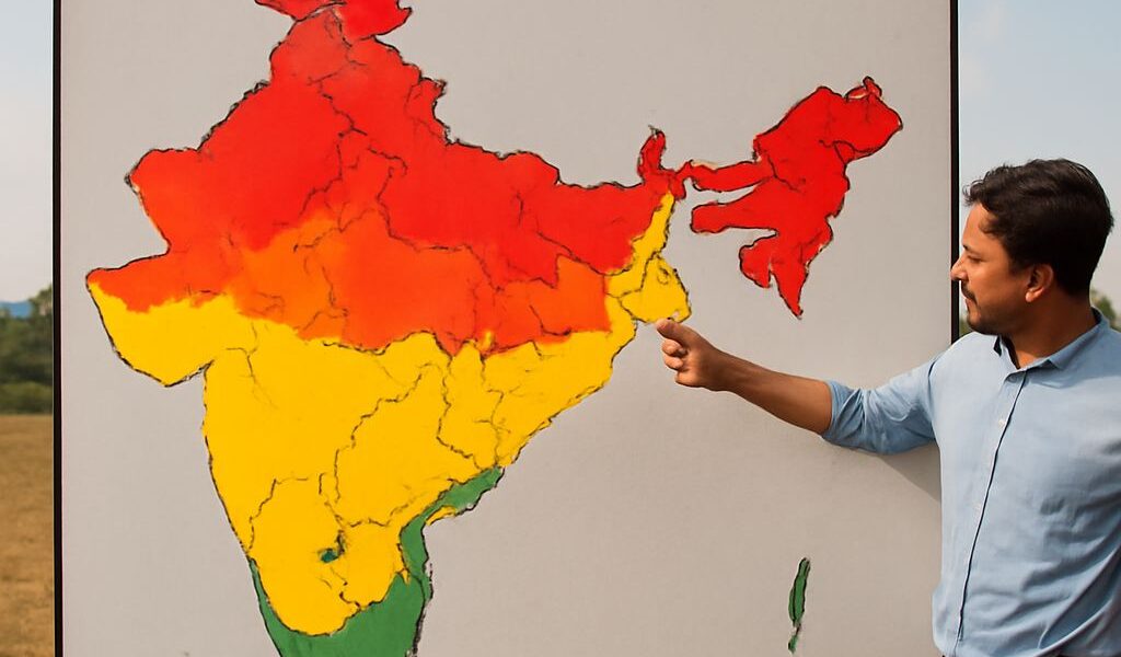
India Climate Map
An India climate map visually represents the diverse climate zones across the country, offering a clear understanding of regional climate variations. The map highlights the main climatic zones — tropical, dry, subtropical, desert, and alpine — and provides insights into the geographical influences on these climates. By examining an India climate map, we can better appreciate the relationship between location and climate conditions, aiding in planning travel, understanding agricultural seasons, and preparing for weather events.
From the humid tropics to dry deserts and snowy mountains, India’s climate diversity influences daily life and cultural practices. It is this rich variety that makes India a unique and fascinating destination for travelers and researchers alike.