 Gloria Glover
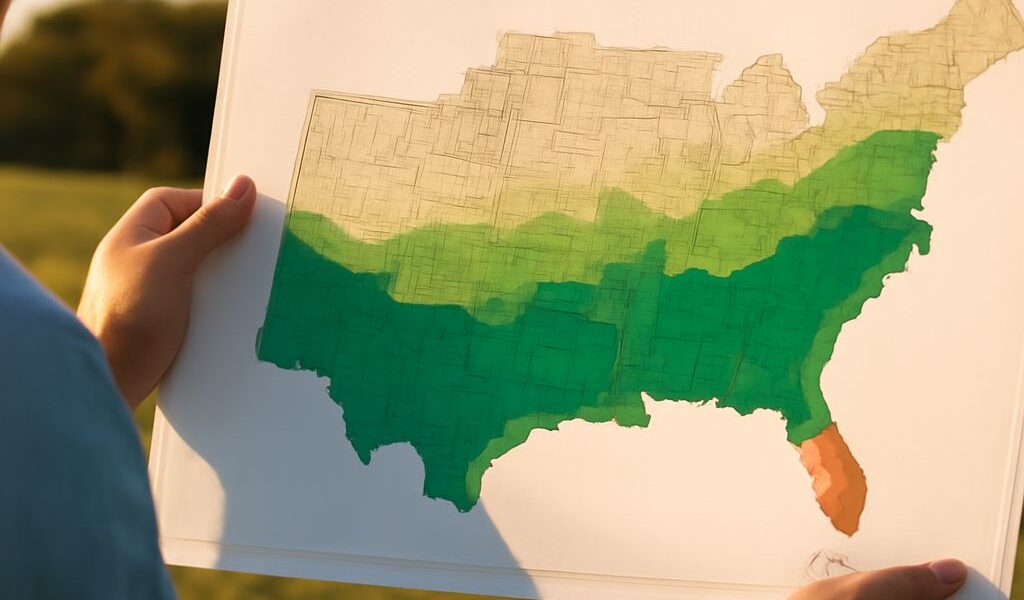
 A Köppen climate map of the USA shows how temperature and precipitation create distinct regional patterns. When we compare it with a map of climate zones for Africa, the main contrast is clear: the United States stretches across temperate, continental, dry, tropical, and polar environments, while much of Africa lies within the tropics.
The maps use a Köppen-style framework, but colors and labels are not universal across every version. We should compare the zone names and geographic patterns rather than assuming that identical colors mean identical classifications.
How to Read a Köppen Climate Map of the USA
Köppen climate groups are usually identified by letters:
- A—tropical: Warm conditions throughout the year, often with wet and dry seasons.
- B—dry: Evaporation generally exceeds precipitation, producing deserts and steppes.
- C—temperate: Mild to warm climates with seasonal changes but limited severe winter cold.
- D—continental: Larger annual temperature ranges, including cold winters and warm summers.
- E—polar: Very cold conditions, including tundra and permanent ice.
Some maps also show highland climates separately because elevation can create cool conditions within otherwise warm latitudes. Smaller subdivisions describe rainfall timing, summer heat, winter severity, or whether a place is desert or steppe.
Climate Zones of the United States
The United States contains an unusually broad range of zones. Arid B climates cover the Great Basin, the Mojave and Sonoran deserts, and much of the interior Southwest. Steppe landscapes extend across parts of the High Plains, where limited moisture and a continental setting produce strong temperature swings.
C climates appear along much of the Pacific coast, where ocean influence moderates temperatures. The Southeast and much of the Gulf Coast have humid subtropical conditions, with hot summers, mild winters, and precipitation in every season. Florida and Hawaii include tropical areas, particularly in low-elevation coastal locations.
D climates dominate the northern interior, Upper Midwest, Great Lakes region, and much of New England. These areas have warm or mild summers but colder winters. E climates occur across Alaska’s far north, while alpine conditions appear in the Rockies, Sierra Nevada, and other high mountain ranges.
Climate Zones of Africa
A tropical climates cover much of central Africa, including the Congo Basin, parts of the Gulf of Guinea coast, and lowland Madagascar. Near the equator, frequent rainfall supports tropical rainforest. Farther north and south, seasonal movement of the Intertropical Convergence Zone creates tropical savanna, with a pronounced wet season and dry season.
B dry climates form Africa’s largest continuous pattern. The Sahara stretches across northern Africa, while the Sahel creates a semiarid transition to the south. The Namib and Kalahari occupy southwestern and southern regions, and dry conditions also affect the Horn of Africa.
C climates occur around the Mediterranean margins of Morocco, Algeria, Tunisia, Libya, and northern Egypt, as well as at some southern coastal locations. Highland areas such as the Ethiopian Highlands and East African mountains are cooler than surrounding lowlands. The highest peaks can approach polar conditions despite their tropical latitude.
Why U.S. and African Climate Patterns Differ
Latitude is the first major control. Africa extends across the equator, so tropical and subtropical zones dominate. The United States reaches much farther north, allowing continental and polar climates to occupy large areas.
Ocean currents reinforce these patterns. The cold California Current helps keep the U.S. Pacific coast relatively dry, while the cold Benguela Current contributes to the Namib Desert. The Canary Current also supports aridity along northwestern Africa. By contrast, warm ocean water supplies moisture to the Gulf Coast and parts of tropical Africa.
Elevation modifies every regional pattern. The Rockies produce cool alpine zones and block or redirect air masses; African highlands create similarly cool pockets. Finally, seasonal rainfall differs: U.S. storm tracks and summer monsoons shift precipitation across the continent, while the annual movement of tropical rain belts organizes Africa’s rainforest, savanna, and Sahel transitions.