Follow an owl food chain from plants to small mammals and barn owls, then see how alternate prey, predators, scavengers, and decomposers create a connected ecosystem food web.
Owl Food Chain: How Barn Owls Fit Into a Food Web
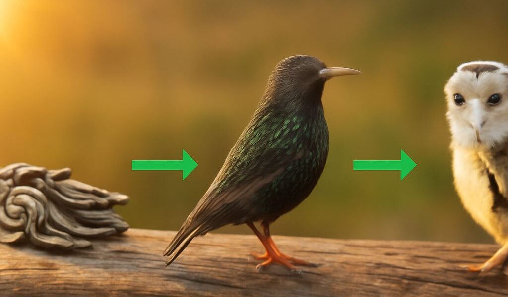
Follow an owl food chain from plants to small mammals and barn owls, then see how alternate prey, predators, scavengers, and decomposers create a connected ecosystem food web.
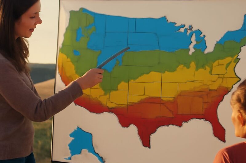
Different types of climate: temperature, precipitation, and seasonality. See how these factors shape the Mediterranean climate zone. Then find major United States climate zones across the country.

Learn the mining environmental impact on land, water, air, waste, and habitat. See what mitigation prevents, what environmental remediation repairs, and when each applies.
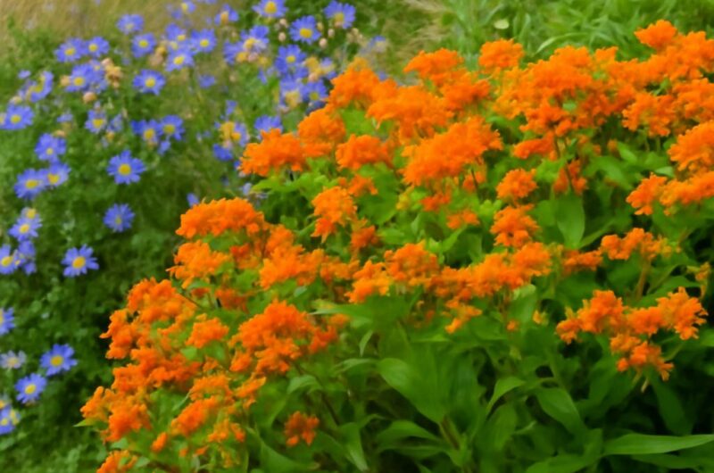
Butterfly pollination depends on flower shape, nectar access, and timing. Learn how yellow coneflower and marsh milkweed feed butterflies, provide habitat, and fit different garden conditions.
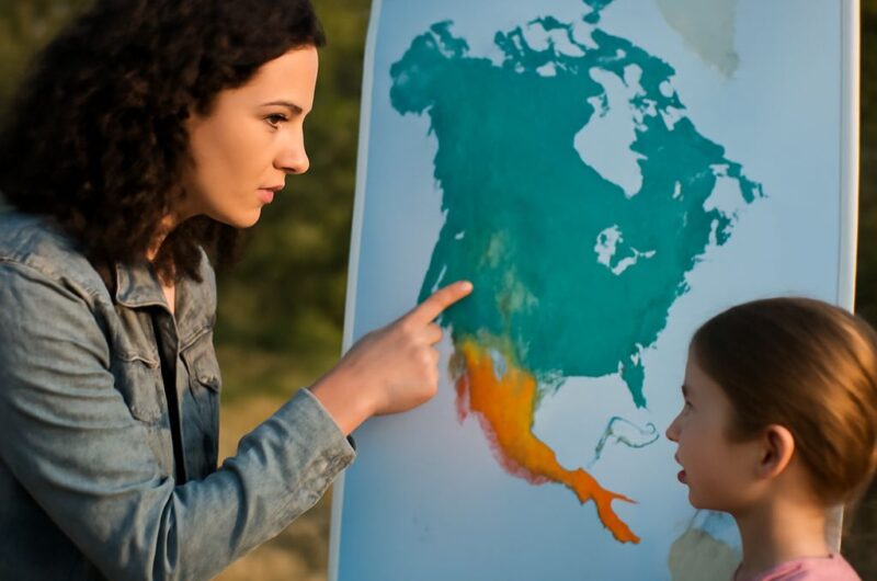
Read a climate regions map by linking colors to long-term temperature and precipitation. A US climate zones map identifies major regions. A U.S. climate map shows why boundaries vary.
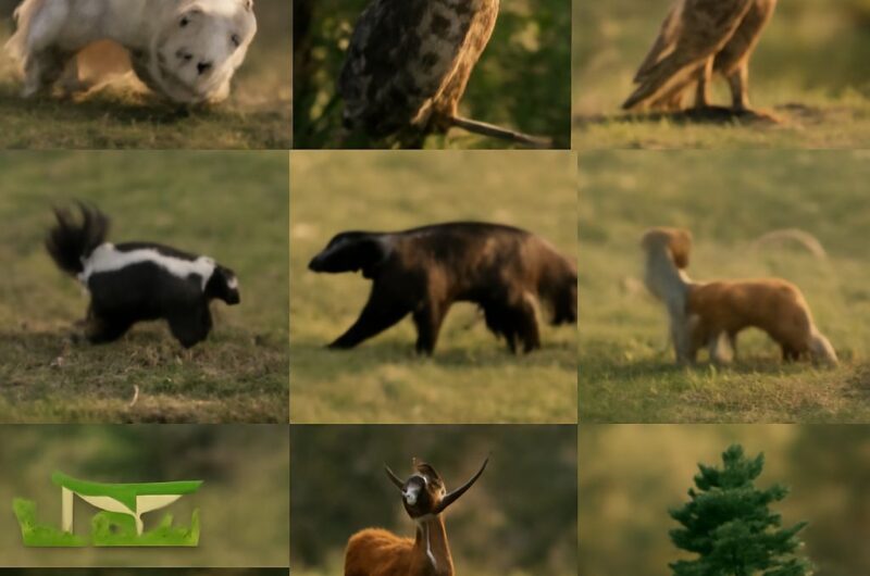
Plants in the taiga biome are producers that capture sunlight and power food webs. Learn how conifers, shrubs, herbivores, and predators connect in examples of food webs.
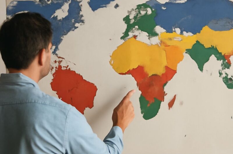
Köppen classification explains climate through temperature and precipitation thresholds. Learn what groups A–E mean, how secondary and tertiary letters work, and how real regions receive their codes.
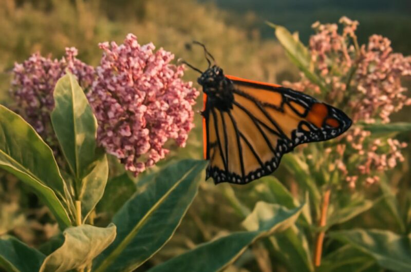
Learn what pink milkweed can mean, then choose native plants by sun, soil, moisture, height, bloom, spread, and habitat value to build a resilient planting plan for your site.
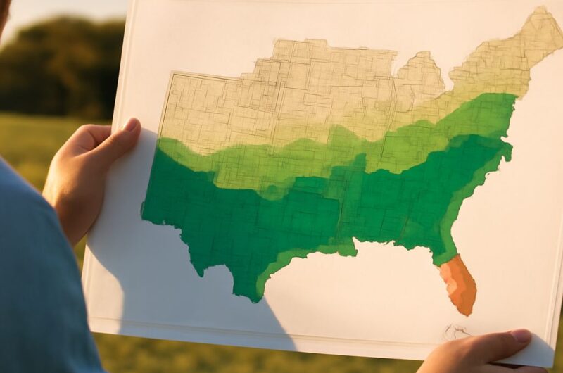
Use a Köppen climate map of the USA to compare the map of climate zones with climate zones of Africa. See how latitude, ocean currents, elevation, rain belts, and continental interiors shape patterns.
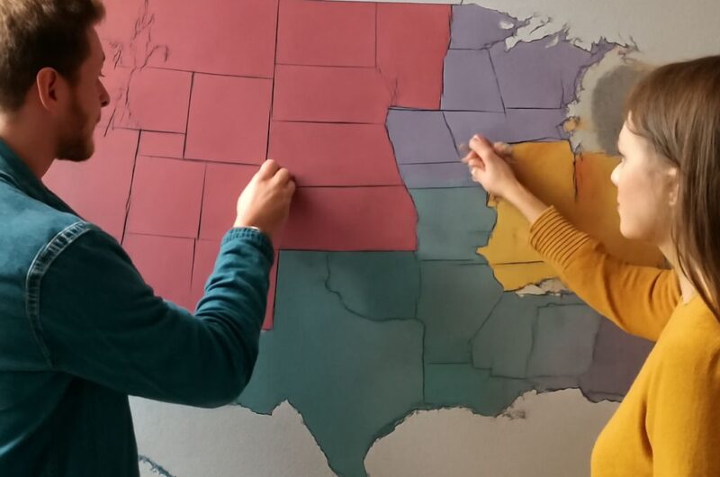
Climate classification uses long-term temperature and precipitation patterns. A climate map of the United States shows how latitude, oceans, elevation, and mountain barriers shape major regions. It guides map reading, not short-term weather forecasting.